

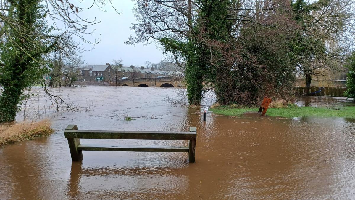
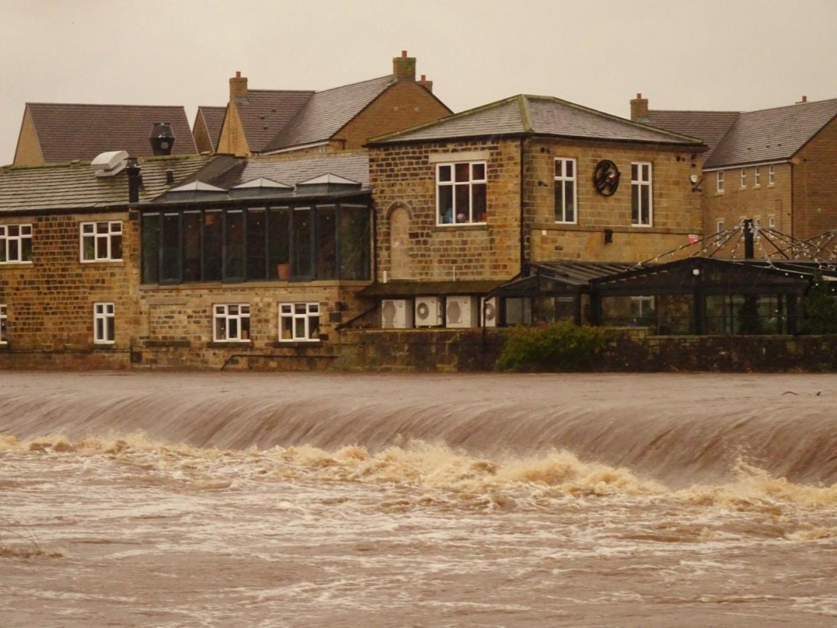
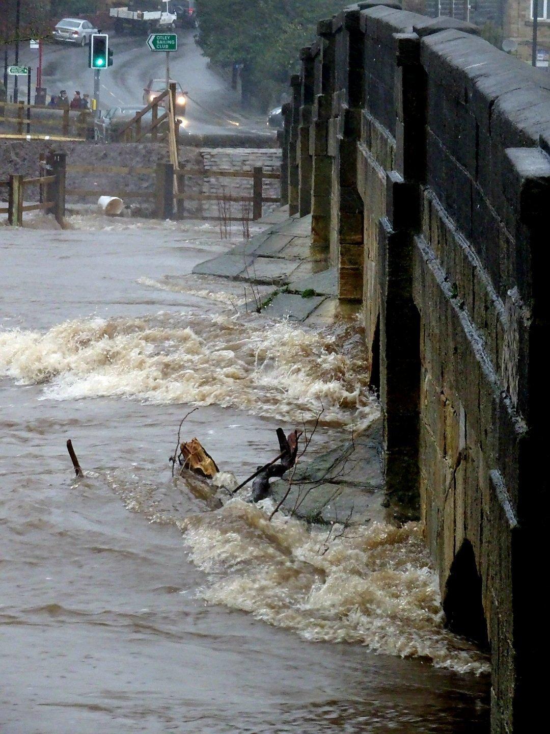
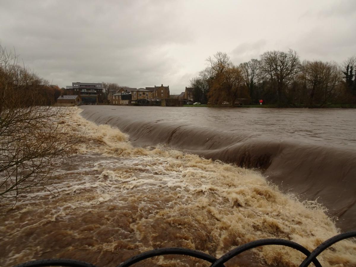

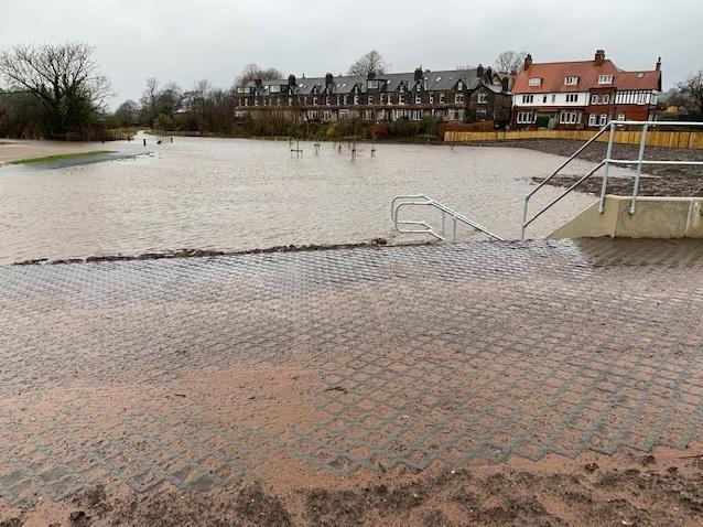
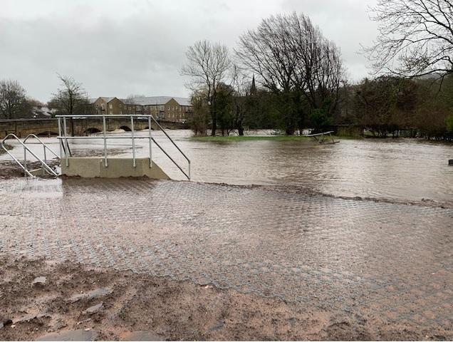
DRAMATIC photographs show the force of the River Wharfe at Otley on Sunday.
Images from Steve Davey and Cllr Colin Campbell were taken as atrocious weather continued over the weekend with heavy rain and flooding across the region as storms raged on.
Yellow weather warnings for wind and rain were issued by the Met Office for the district and flood warnings were also issued.
As the whole area was battered by severe weather on Sunday afternoon Otley and Yeadon councillor Colin Campbell said the town's flood relief scheme seemed to be doing what it was designed to do, holding back the water above the Bridge and protecting Farnley Lane/Bridge Avenue.
He said there was an issue near the Wharfemeadows Park Cafe where Holbeck goes under the road. The culvert was blocked so water was running onto the road. There was also an incident on Farnley Lane at the Athelstan Lane junction where the shear volume of water overwhelmed the street gullies. Ilkley Road was also blocked at at Mickling Beck.
Cllr Campbell said: "The weather over the last couple of weeks has been exceptional culminating in heavy rain and wind over the weekend. Fortunately the new Otley flood defences seem to have held though there were a number of other issues locally where the volume of water overwhelmed so of the street gullies.
"On behalf of myself and residents I would like to thank the teams from Leeds City Council who turned out in atrocious weather to try and keep everyone safe."
Today the Environment Agency said the flood warning for the River Wharfe at Otley remained in force.
It said: "River levels have been dropping in the upper catchments, but are now rising due to local rainfall. Levels are not expected to rise much further or reach yesterday’s levels. We are not expecting large amounts of rainfall through today and expect to remove the flood warning later on. We are monitoring river levels closely. Avoid using low lying footpaths and any bridges near local watercourses and do not attempt to walk or drive through flood water. Plan driving routes to avoid low lying roads near rivers, which may be flooded. Visit the GOV.UK website for a 5 day flood forecast and up to date river levels. This message will be updated later today, or as the situation changes."
The Flood warning area covers properties on Newhall Park, Mill Lane and Riverdale Road. The Sports Pavillion and isolated properties between Otley and Pool.


Comments: Our rules
We want our comments to be a lively and valuable part of our community - a place where readers can debate and engage with the most important local issues. The ability to comment on our stories is a privilege, not a right, however, and that privilege may be withdrawn if it is abused or misused.
Please report any comments that break our rules.
Read the rules here