
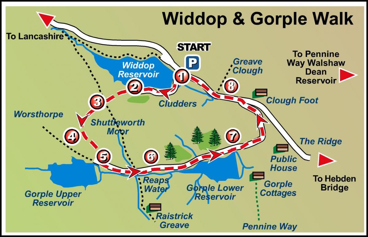
This four-mile circular walk north of Hebden Bridge takes in dramatic scenery and three reservoirs
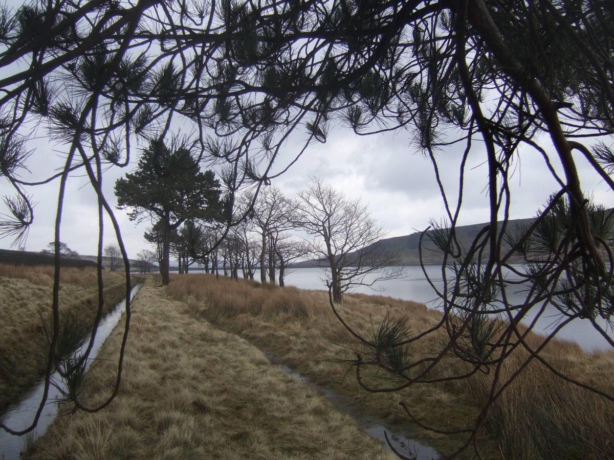
This remote, bleak and exposed moorland walk is situated in an area of natural beauty with stunning scenery. Brushing the edges of three reservoirs, Widdop, Upper Gorple and Lower Gorple, the route is within easy access of the Pennine Way. The walk is four miles long.
ROUTE:
Start from the car park east of Widdop Dam at point one.
Leave the car park via the side nearest to the dam and follow the defined path to a pedestrian gate on to a footbridge, followed by a short flight of steps on to the dam wall.
Turn left and cross the dam, then bear right and continue through a gate on a broad track close to the water’s edge. This is part of the Pennine Bridleway.
At point two the track veers left away from the reservoir, below a small plantation, then climbs up the hillside which is quite steep in places, through a series of bends to a path junction at point three. Turn left here, signed public bridleway Worsthorne and continue on the wide track uphill and on to open moorland.
The track levels out and meets another footpath junction with a signpost on the right hand side at point four. Turn left at this junction, following the Yorkshire Water Permissive path across open ground with major rock outcrops first on the right and then below an outcrop on the left.
The path eventually descends to meet a narrow path to the access track at the north end of the Upper Gorple Reservoir Dam at point five. This path can be boggy in places so please take care.
Turn left taking the access track for a further mile ignoring a signed footpath to Widdop Road on the left. Walk past some trees on your right immediately below Gorple Upper Reservoir and proceed beyond a long timber hut at point six with trees on your left and Lower Gorple Reservoir on your right.
At the Lower Gorple Reservoir Dam, point seven, turn left, signed Pennine Bridleway, and continue along the track to Widdop Road at Clough Foot, point eight.
Leaving the track via a bridle gate, turn left onto the tarmac road and walk on the right hand side of the road for a further ¾ mile until you return to the car park at Widdop.
OS Map: Explorer Map OL21
FACT FILE:
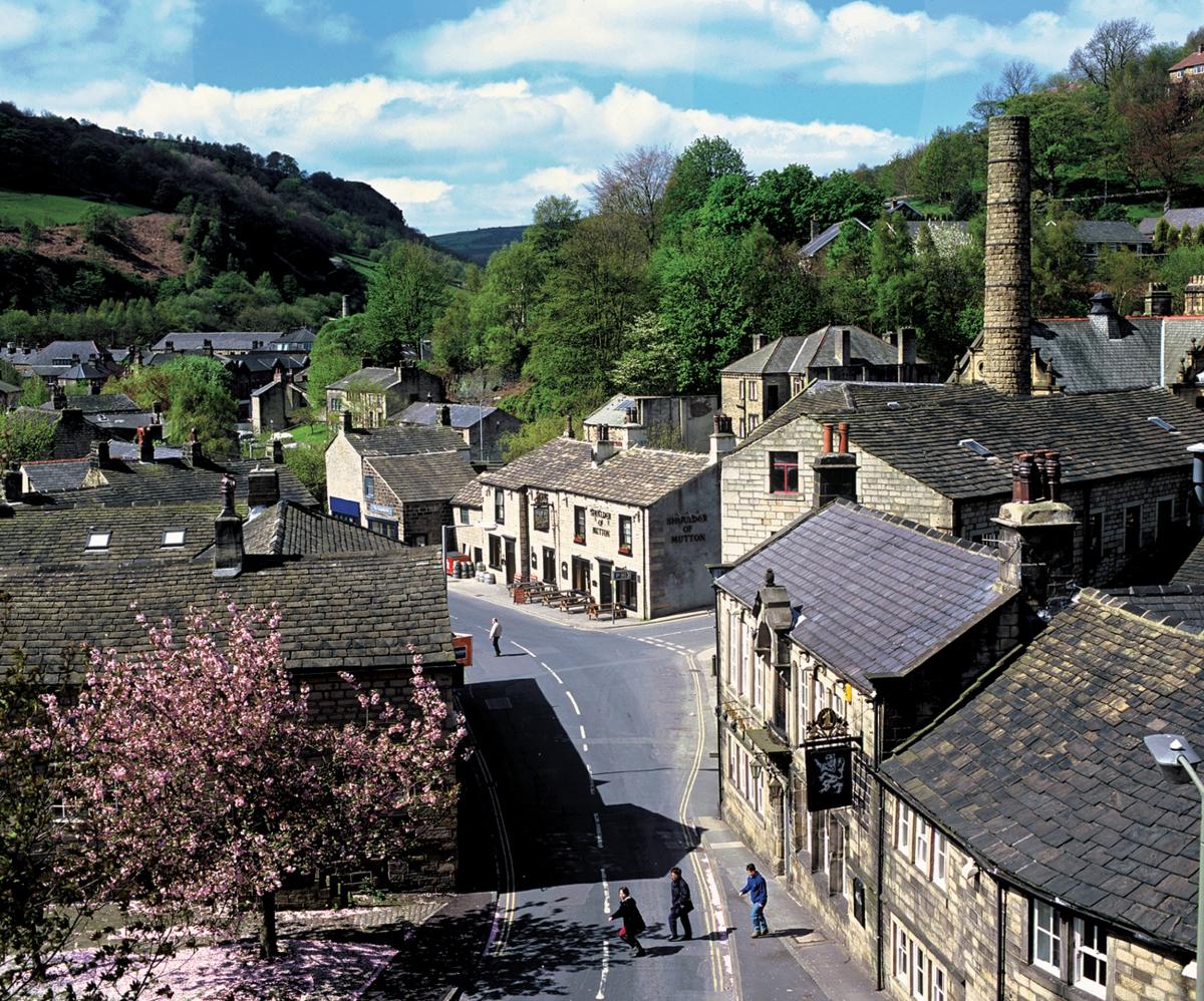
Start: From the car park to the east of Widdop Reservoir dam point one, on the Hebden Bridge/Nelson/Colne road. Walk distance/time: Four miles, approximately two to two and half hours. Going: Some rugged ground, with some stiles. Map: Ordnance Survey – Explorer OL21. Facilities/Refreshments: Hebden Bridge.
- Please respect the countryside and private land. Anyone embarking on these walks does so at their own risk and the Ilkley Gazette and Wharfedale & Aireborough Observer can take no responsibility for the complete accuracy of the route. Restrictions on space mean that this article provides a general summary of the route – it is advised that anyone planning to follow the walk should take a copy of the relevant Ordnance Survey map.


Comments: Our rules
We want our comments to be a lively and valuable part of our community - a place where readers can debate and engage with the most important local issues. The ability to comment on our stories is a privilege, not a right, however, and that privilege may be withdrawn if it is abused or misused.
Please report any comments that break our rules.
Read the rules hereComments are closed on this article